From Maple Leaves to Northern Lights! Memorizing and Learning Canada

Every year, I try to put myself in the head of a middle schooler and figure out new ways to help them wrestle with geography and cartography. It’s no easy task to memorize drawing and labeling the whole world by heart. Some might even question the necessity (and sanity) of doing so (since let’s be honest, most kids are probably going to forget a lot of it anyway… and what are they going to use it for, answering a Jeopardy question at 40?), but I had to memorize and draw the world by heart as a young teenager, and not only did it make history and politics much easier to follow, it was also like an executive function super course. Taking a big project, breaking it down into chunks, and figuring out ways to remember everything is a huge skill that transfers over to so much of adulthood.

That said, there are certain “hacks” to help information stick in your brain…colors, novelty, music, pegging, mnemonics etc. I try to have my kids and students brainstorm with me, and so here’s this year’s fresh crop of new ideas. Homeschoolers these days have so many more creative tools at their fingertips than I did in the 90s. It’s not fair!

What we’ve come up with for helping to memorize Canada’s provinces and territories:

Big Alps Sing Many Quiet Old Nursery Poems Near Naptime to Young Northern Nomads.
British Columbia, Alberta, Saskatchewan, Manitoba, Quebec, Ontario, Newfoundland, Prince Edward Island, Yukon, Northwest Territories, and Nunavut.

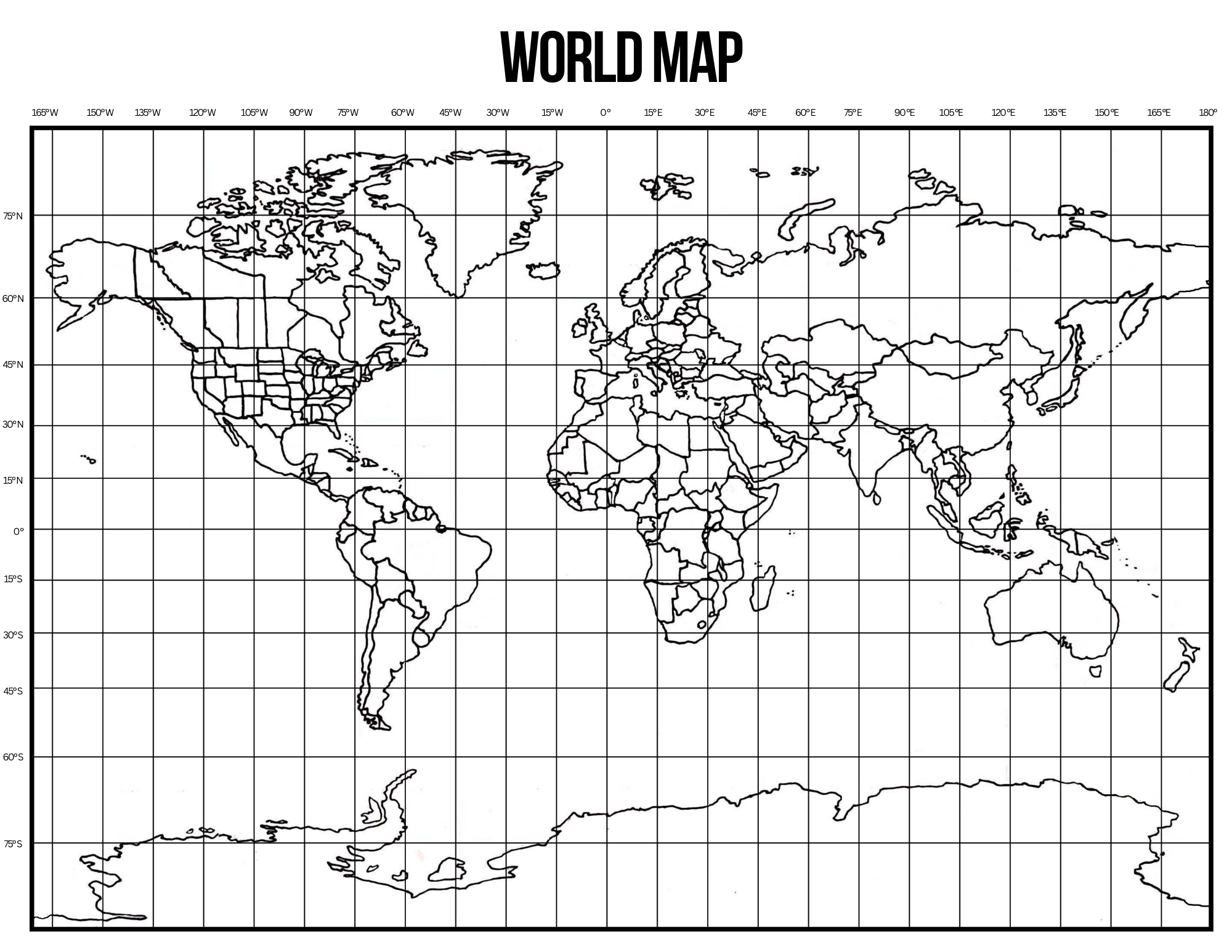
Save, print, laminate, cut into cards, and keep around the table while you’re drawing and labeling. Try memorizing and chanting to jump rope, cups, clapping, hop scotch, tango dancing or…you get the idea.

So that helps with the visual working memory, but it doesn’t include the capitals. For that we need a good old fashioned sea shanty. Here’s a song with all of Canada’s provinces, territories and capitals, including Ottawa! (for some reason, kids seem to skip that one).

You can download that here:

It very intentionally matches the same order as the acrostic mnemonic, but be careful! The Canadian provinces and capitals might get stuck in your head.

As always, you can find my other Cartography resources here:

Challenge A Cartography workbook

Map drawing tutorials

Happy Homeschooling!

Draw the world. Trace the world. Paint the world…Whatever your heart desires.

Don’t tell me if someone has already done this, but I finally drew an accessible world map. Straddling the GenX/Millenial line means I know how to use electronics better than a Zoomer, but not as well as a true dyed-in-the-wool GenX. Consequently, I have been struggling to find the perfect whole world map for nigh on 7 years now. You’d think it would be easy, but it needed to:

A) Be easily photocopiable and printable (you’d be shocked at how many maps have weird gray areas or water that don’t copy well).
B) Have the longitude and latitude lines go OVER the countries. This is super important to be able to draw it using the grid method.
C) Be the least garbled Mercator projection so the grids are in straight lines.
D) Have nice thick, easily traceable lines so it could be put on a window or lightbox.
E) Fit on a standard 8.5×11, but also be printable in bigger sizes.

It has been driving me crazy for years because I’m sure it exists somewhere and I didn’t need to draw one myself, but I couldn’t find one I liked. But I really didn’t want to make one myself because drawing the whole world takes time and effort…two things in short supply when you have 4 kids and a million other responsibilities and priorities taking up one’s time (like reading historical fiction till 2am…cough cough). I tried several times, but someone always spilled something on it, or I couldn’t get the perspectives and lines right. It was my own personal Sisyphean task…every time I worked on it, I somehow found myself back at the beginning.

So even though it feels rather anti-climatic at this point (faint drumroll), here is a fully traceable, fully drawable, fully expandable world map that may or may not be totally accurate. (I used Google Maps for the most up-to-date borderlines, but the world isn’t exactly stable and black and white right now):

There’s even a matching blank grid included. I think drawing and familiarizing kids with the world is incredibly important, especially these days. Once when I was working as a server, I had a table of customers who were from Kyrgyzstan. They asked me if I even knew where their country was. Not only could I tell them where it was, I could also tell them every country that bordered it. In all fairness, they didn’t realize how many years I’d been teaching middle schoolers how to draw the world by heart. But seriously, world news and issues make so much more sense if you have a working mental picture of the world.

I’ll get off my soap box now. I figure at the very least I made an exceptionally time-intensive free art page. Heck, you could even print it super large, paint it with your color scheme, and frame it… or color all the places with missionaries you pray for…or color in a new country every day and do a unit study…or…or… I’ll stop now.

If you are inspired to have your kids learn to draw the whole world by memory, you can find the sum of all my labors here: https://www.etsy.com/listing/1185775539/cartography-workbook-challenge-a-now-1st